Research:
* County Online Data ECN
* LA Bldg Data Import / LA Buildings 2008
table: la_bldgs_raw; count: 3,120,189
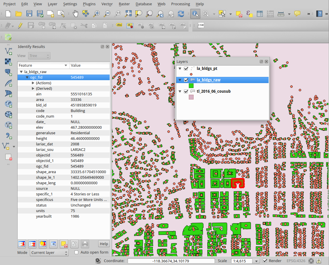
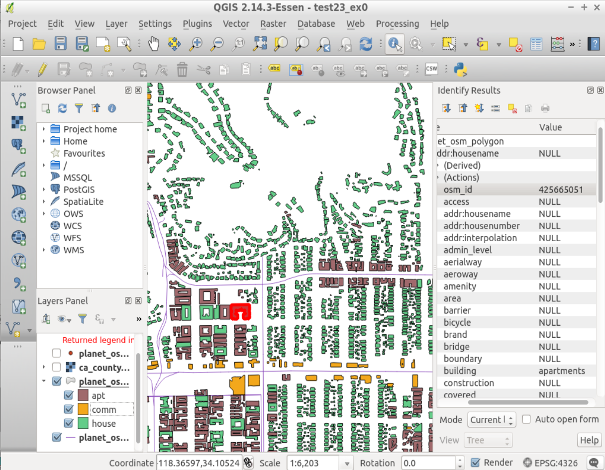
* OSM data — focus on Hollywood Hills (-118.366 34.105 )
Infrastructure:
* Postgres / PostGIS
database geo_datamine_f2
* US Census TIGER — 2013,2014,2015,2016
* Geoserver
* Git
* Web Directory -ECN-
geo_datamine_f2=# \d la_bldgs_raw
                           Table "public.la_bldgs_raw"
   Column   |            Type             |              Modifiers
------------+-----------------------------+--------------------------------------
 gid        | integer                     | not null default nextval('la_bldgs_raw_gid_seq'::regclass)
 objectid_1 | numeric(10,0)               |
 objectid   | numeric(10,0)               |
 code       | character varying(80)       |
 bld_id     | character varying(80)       |
 height     | numeric                     |
 elev       | numeric                     |
 area       | numeric(10,0)               |
 lariac_sou | character varying(80)       |
 lariac_dat | character varying(80)       |
 ain        | character varying(80)       |
 status     | character varying(80)       |
 code_num   | numeric(10,0)               |
 source     | character varying(25)       |
 date_      | character varying(4)        |
 shape_leng | numeric                     |
 shape_le_1 | numeric                     |
 shape_area | numeric                     |
 generaluse | character varying(254)      |
 specificus | character varying(254)      |
 yearbuilt  | character varying(254)      |
 specific_1 | character varying(254)      |
 units      | character varying(254)      |
 geom       | geometry(MultiPolygon,4326) |
Indexes:
    "la_bldgs_raw_pkey" PRIMARY KEY, btree (gid)
    "la_bldgs_raw_geom_idx" gist (geom)

#-- Categorize and Count Bldgs in the set, by attribute

  count  |   generaluse
---------+----------------
 2791249 | Residential
  128551 |
  106015 | Commercial
   63621 | Industrial
   20707 | Institutional
    4647 | Recreational
    2287 | Dry Farm
    1960 | Miscellaneous
    1084 | Irrigated Farm
      68 | (missing)
(10 rows)

geo_datamine_f2=#
select count(*),generaluse from la_bldgs_raw
group by generaluse order by count(*) desc;


#-- What Counties are included in this dataset ?
           row
-------------------------
 (395,Ventura)
 (398,"Los Angeles")
 (1111,"San Bernardino")
 (2553,Orange)
(4 rows)

geo_datamine_f2=#
select distinct(c.gid, c.name) from
tl_2016_us_county c JOIN la_bldgs_pt p
 ON (st_intersects( c.geom, p.geom));

#-- How Many bldgs in each County ?

      name      |  count
----------------+---------
 San Bernardino |      39
 Orange         |      43
 Ventura        |       1
 Los Angeles    | 3120105
(4 rows)

geo_datamine_f2=#
select c.name, count(*)
from tl_2016_us_county c, la_bldgs_pt p
where st_intersects( c.geom, p.geom)
group by c.name;

#-- How Many 5-or-more Apt Bldgs ?

count | 143121

geo_datamine_f2=#
select count(*) from la_bldgs_raw
 where specificus = 'Five or More Units or Apartments (Any Combination)';

#-- Ingesting the Data
curl -L "http://latimes-graphics-media.s3.amazonaws.com/jon-temp/lariac_buildings_2008.zip"

ogr2ogr -f PostgreSQL PG:dbname=geo_datamine_f2 -nln la_bldgs_raw -nlt MULTIPOLYGON -geomfield geom \
  -t_srs EPSG:4326 merged-buildings-state-plane.shp merged-buildings-state-plane

--
create table la_bldgs_pt as
select
  ogc_fid as gid,
  objectid_1,objectid,
  code,bld_id,height,elev,area,
  lariac_sou,lariac_dat,ain,status,
  code_num,source,date_,
  generaluse,specificus,yearbuilt,specific_1,units,
  st_centroid(wkb_geometry) as geom
from
  la_bldgs_raw;
--
alter table la_bldgs_pt add constraint la_bldgs_pt_uniq UNIQUE(gid);
alter table la_bldgs_pt add PRIMARY KEY (gid);
create index la_bldgs_pt_geom_idx on la_bldgs_pt using GIST (geom);


--
-- NOTE custom srs used for LA Master
--  https://github.com/osmlab/labuildings/blob/master/Makefile
-- -s_srs '+proj=lcc +lat_1=35.46666666666667 +lat_2=34.03333333333333 +lat_0=33.5 +lon_0=-118 +x_0=2000000.000101601 +y_0=500000.0001016002 +ellps=GRS80 +towgs84=-0.9956,1.9013,0.5215,0.025915,0.009426,0.011599,-0.00062 +units=us-ft +no_defs'
HOLLYWOOD_CA.osm  Polygons => 11,368
 osm2pgsql 0.88

 count |   building
-------+--------------
  5057 | house
  2704 | apartments
  1413 | residential
   531 | yes
   435 | commercial
   425 | retail
   122 | industrial
    67 | hotel
    38 | warehouse
    29 | school
    12 | garages
     4 | church
     3 | roof
     3 | hospital
     1 | office
     1 | construction
     1 | college
     1 | greenhouse
(18 rows)

test23=# select count(*),building from planet_osm_polygon
WHERE building is not null GROUP BY building ORDER BY count(*) desc;