
A simple spatial classification of geo-data, by federated county; based on the regional planning infrastructure in California.
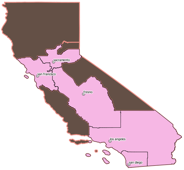
The hilited areas include:
![]()
![]() Sacramento Area Council of Governments
Sacramento Area Council of Governments
![]()
AB32 Scoping Plan Update
Regional Profiles – All
![]() San Diego Association of Governments
San Diego Association of Governments
![]() last but not least, at the State level
last but not least, at the State level
a simple numbering system via postgresql
 region_id |     region_name
-----------+---------------------
         1 | northern_california
         2 | sierra
         3 | bay_area
         4 | sacramento
         5 | central_valley
         6 | central_coast
         7 | southern_california
         8 | san_diego