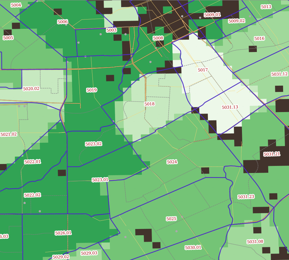
In this screenshot of Central Silicon Valley, Census tracts have been combined with a constraints layer, and then cut with a 150 meter grid in the EPSG:3310 projection. Using imputation tables and external sources, each grid cell is then computed. The result is a statistically defensible, higher-resolution and handily applicable set of grid cells.