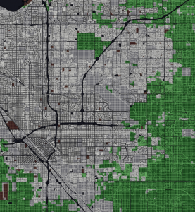
Here grid cells are classified into three types by landuse, and county parcels are split along grid cell boundaries, in preparation for computing a result stored into a database table of grid cells as table rows.
Note that roadways, water bodies and some public lands are correctly absent in net calculations, but since the area of a grid cell is a well defined constant, acreage and ratios are trivially computed.
